
About this book
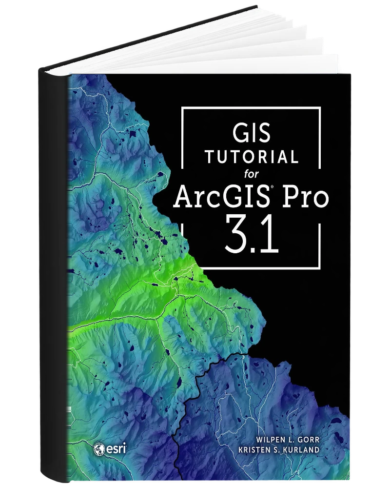
GIS Tutorial for ArcGIS Pro 3.1 5th Edition PDF by Wilpen L. Gorr and Kristen S. Kurland is offered here as a PDF eBook. This fifth edition is a hands-on geographic information systems (GIS) tutorial revised specifically for ArcGIS Pro 3.1. It guides learners through progressively structured exercises in map creation, ArcGIS Online, spatial data management, geodatabases, geoprocessing and spatial analysis using current real-world scenarios. New datasets, updated workflows and step-by-step instructions help readers learn the software by completing practical tasks rather than studying GIS concepts only in the abstract. No prior ArcGIS Pro experience is required, making the book useful both in formal GIS courses and for self-directed learning. Its exercise-based structure is particularly helpful for students and professionals who want transferable desktop GIS skills.
Designed for GIS students, classroom learners, and self-directed beginners, this edition provides a structured resource for understanding how to create, manage, analyze, and communicate geographic information.
This listing is for the 5th edition of GIS Tutorial for ArcGIS Pro 3.1. Check the title, edition, authors/editors, and other product information before ordering if you need the book for a particular course, syllabus, examination, or professional reference.
Progressive GIS Exercises for ArcGIS Pro 3.1
Gorr and Kurland organize this fifth-edition tutorial around progressively developed GIS skills. The opening material introduces ArcGIS Pro, attribute data, map symbols, and design, then moves toward layouts and online communication. Spatial data work includes file geodatabases, coordinate systems, data acquisition, queries, and geoprocessing. Later workflows extend into analysis and specialized applications. The edition is revised specifically for ArcGIS Pro 3.1 and uses updated datasets and exercises. Its practical scope also includes StoryMaps, Dashboards, basic SQL and Python expressions, network routing, satellite imagery, and map animation. Readers follow worked tasks that connect software tools with real geographic questions.
Mapping, Data Management, and Analysis Workflows
The 5th edition covers the following areas:
- Map symbols and design: Qualitative and quantitative maps, labels, and display choices.
- Layouts and online sharing: Presenting maps through layouts, StoryMaps, and Dashboards.
- Geodatabases and attribute tables: Importing data, managing tables, and querying records.
- Coordinate systems and data acquisition: Working with projected data and geographic data sources.
- Geoprocessing: Clipping, dissolving, and merging features for a study area.
- SQL and Python expressions: Simple expressions used within GIS tasks.
- Networks and imagery: Street routing and satellite-image analysis.
- Map animation: Turning mapped information into animated presentations.
Practicing the Steps Behind a GIS Result
The tutorial is useful for learners who need to see how a GIS task develops from data to a finished map or analysis. Its progressive exercises encourage a connection between earlier skills, such as working with attributes, and later operations that depend on those skills. A classroom can use the sequence to develop shared workflows, while an independent learner can revisit the instructions for a particular tool. The range of communication formats also helps connect analytical work with its presentation to an audience. Readers who have access to suitable ArcGIS software can use the book to practice repeatable tasks and understand the decisions involved in organizing geographic information.
Who uses this book
- Beginning GIS Students
- ArcGIS Pro 3.1 Learners
- Geography and Geospatial Science Students
- Urban Planning and Environmental Science Students Using GIS
- Self-Directed GIS Learners
- Professionals Developing Desktop GIS Skills
- Students Learning Geodatabases and Spatial Analysis
- GIS Instructors
- Analysts Transitioning Into ArcGIS Pro Workflows
Also suitable for other geospatial learners who need step-by-step practice in mapping, data management, geoprocessing and spatial analysis using ArcGIS Pro 3.1.
Key Topics Covered
- ArcGIS Pro 3.1
- Map symbology
- Choropleth mapping
- Attribute queries
- File geodatabases
- Spatial joins
- Projected coordinate systems
- Geoprocessing
- ArcGIS StoryMaps
- ArcGIS Dashboards
- SQL expressions
- Python expressions
- Network routing
- Satellite imagery
- Map animation
PDF Edition Features
- Searchable reading: Quickly locate names, concepts, conditions, terminology, and other material with a compatible PDF reader.
- Highlighting and notes: Use annotation, bookmarking, and highlighting features supported by your chosen PDF application.
- Flexible access: Read the eBook on compatible computers, tablets, and mobile devices.
- Edition identification: Check the edition and product information before ordering to ensure it matches your requirements.
- Instant access: After successful payment, the download link is available through your order and sent to the email address used at checkout.



Reviews
There are no reviews yet.