
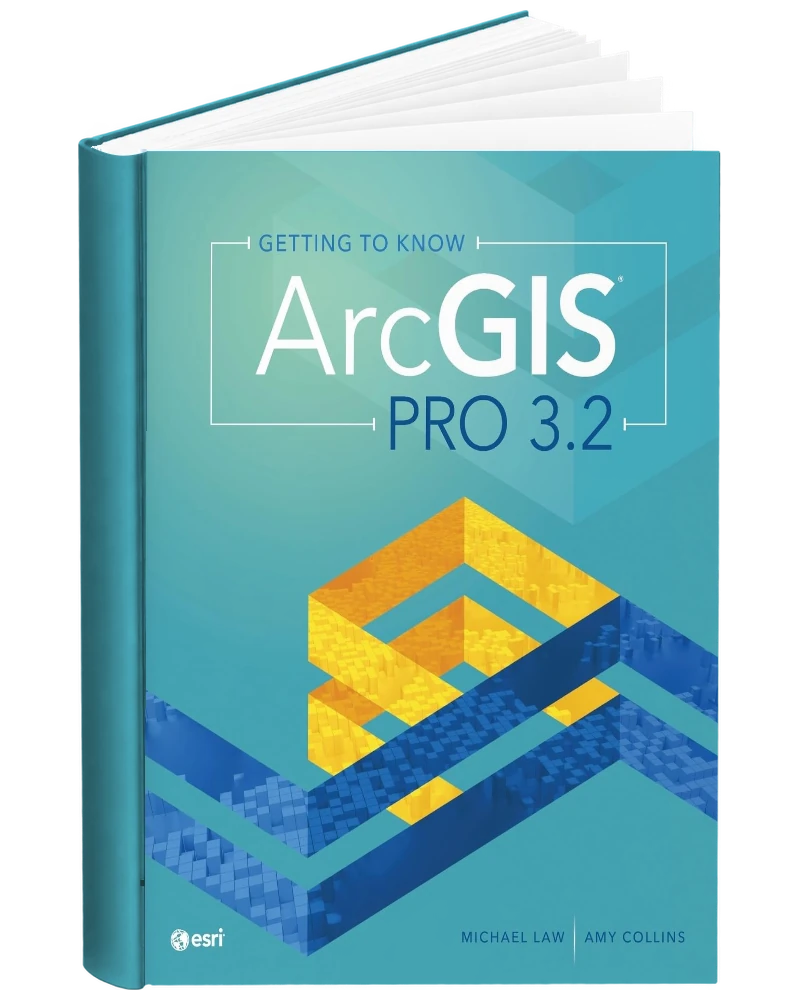
About this book
Getting to Know ArcGIS Pro 3.2 1st Edition PDF by Michael Law and Amy Collins is offered here as a PDF eBook. This ArcGIS Pro 3.2 guide is designed as both an introductory textbook and a desk reference for learning Esri’s desktop GIS environment. It walks readers through ArcGIS Online, map creation, data editing, geodatabases, 3D GIS, geoprocessing, spatial analysis, model building, Python-based script tools and space-time analysis. More than 300 full-color images clarify workflows and help new users follow software procedures step by step. Short real-world GIS examples show how the same tools are applied across different industries and problem types. The book is especially useful for students, self-learners and professionals who want a broad practical introduction to ArcGIS Pro 3.2 that can also serve as a later workflow reference.
Designed for students, self-learners, and professionals beginning ArcGIS Pro, this edition provides a structured resource for understanding how desktop GIS tools turn location data into maps and analytical results.
This listing is for the 1st edition of Getting to Know ArcGIS Pro 3.2. Check the title, edition, authors/editors, and other product information before ordering if you need the book for a particular course, syllabus, examination, or professional reference.
Learning the ArcGIS Pro 3.2 Workflow
Getting to Know ArcGIS Pro 3.2 begins with GIS concepts and a first look at the application, including ArcGIS Online and three-dimensional GIS. Its workflow then develops through geospatial relationships, tabular data, statistics, geodatabase construction, and feature editing. Tasks, geoprocessing models, and Python introduce ways to make operations repeatable. Additional material addresses geocoding and the analysis of spatial and temporal patterns, including density mapping, hot spots, animation, and space-time cubes. Updated for version 3.2, the book uses illustrated instructions, industry scenarios, chapter summaries, and glossaries to explain both software operations and the geographic questions those operations can help investigate.
Core Skills and Repeatable GIS Tasks
The 1st edition covers the following areas:
- GIS and ArcGIS Online: An introduction to geographic information and online mapping.
- ArcGIS Pro and 3D GIS: Application basics and exploration of three-dimensional data.
- Geospatial relationships: Combining tables, calculating statistics, and connecting datasets.
- Geodatabases and feature editing: Building a geodatabase and creating or modifying features.
- Tasks and models: Organizing repeatable workflows with tasks and geoprocessing models.
- Python commands and script tools: An introduction to scripting within a GIS workflow.
- Geocoding and vector analysis: Preparing location data and applying geoprocessing tools.
- Spatial and temporal patterns: Density maps, hot spot analysis, and time-related exploration.
Moving from GIS Concepts to Repeatable Workflows
This book is useful when a learner needs a guided path from understanding GIS to performing a sequence of operations in ArcGIS Pro. The exercises connect data preparation with editing, analysis, and presentation, so individual commands can be understood within a larger task. The automation material is particularly relevant once a reader recognizes that the same operations may need to be repeated on another dataset. Industry sidebars give a practical setting for discussing those workflows. Students and professionals with suitable software access can use the book as a training text, then return to it as a desk reference when revisiting a workflow or unfamiliar term.
Who uses this book
- GIS Students
- Professionals Beginning ArcGIS Pro
- Self-Directed Desktop GIS Learners
- Geography and Geospatial Science Students
- Analysts Learning Geodatabases and Spatial Analysis
- Students Exploring 3D GIS and Geoprocessing Models
- GIS Professionals Updating to ArcGIS Pro 3.2
- Introductory GIS Instructors
- Learners Building Mapping and Automation Workflows
Also suitable for other geospatial professionals who need a practical introduction and ongoing reference for mapping, data management, analysis and automation in ArcGIS Pro 3.2.
Key Topics Covered
- ArcGIS Pro 3.2
- ArcGIS Online
- 3D GIS
- Geospatial relationships
- Tabular data integration
- Data statistics
- Geodatabase construction
- Spatial feature editing
- ArcGIS tasks
- Geoprocessing models
- Python script tools
- Geocoding
- Kernel density mapping
- Hot spot analysis
- Space-time cubes
PDF Edition Features
- Searchable reading: Quickly locate names, concepts, conditions, terminology, and other material with a compatible PDF reader.
- Highlighting and notes: Use annotation, bookmarking, and highlighting features supported by your chosen PDF application.
- Flexible access: Read the eBook on compatible computers, tablets, and mobile devices.
- Edition identification: Check the edition and product information before ordering to ensure it matches your requirements.
- Instant access: After successful payment, the download link is available through your order and sent to the email address used at checkout.



Reviews
There are no reviews yet.